
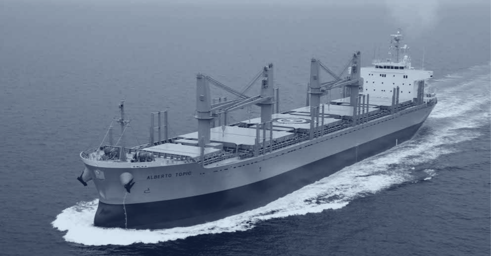
Shipborne data. Predictive intelligence.
OceanSync builds data infrastructure on commercial vessels for fleets, governments and data platforms.
- Weather
- Motion
- AIS
- Radar
- GNSS
The full feeds, live and historical, are available to license.
From in-situ sensing to integrated intelligence.
Vortex Edge™ captures high-frequency data directly from vessels and pairs it with select external feeds. CapeCast™ turns this integrated intelligence into hyperlocal forecasts that get better as the network grows.
CapeCast™
AI-powered hyperlocal weather forecasting, trained on real-time observations from our live vessel network. Better forecasts. Safer routes. Lower costs.
- Weather along your planned route
- Coming soon: decision support tool
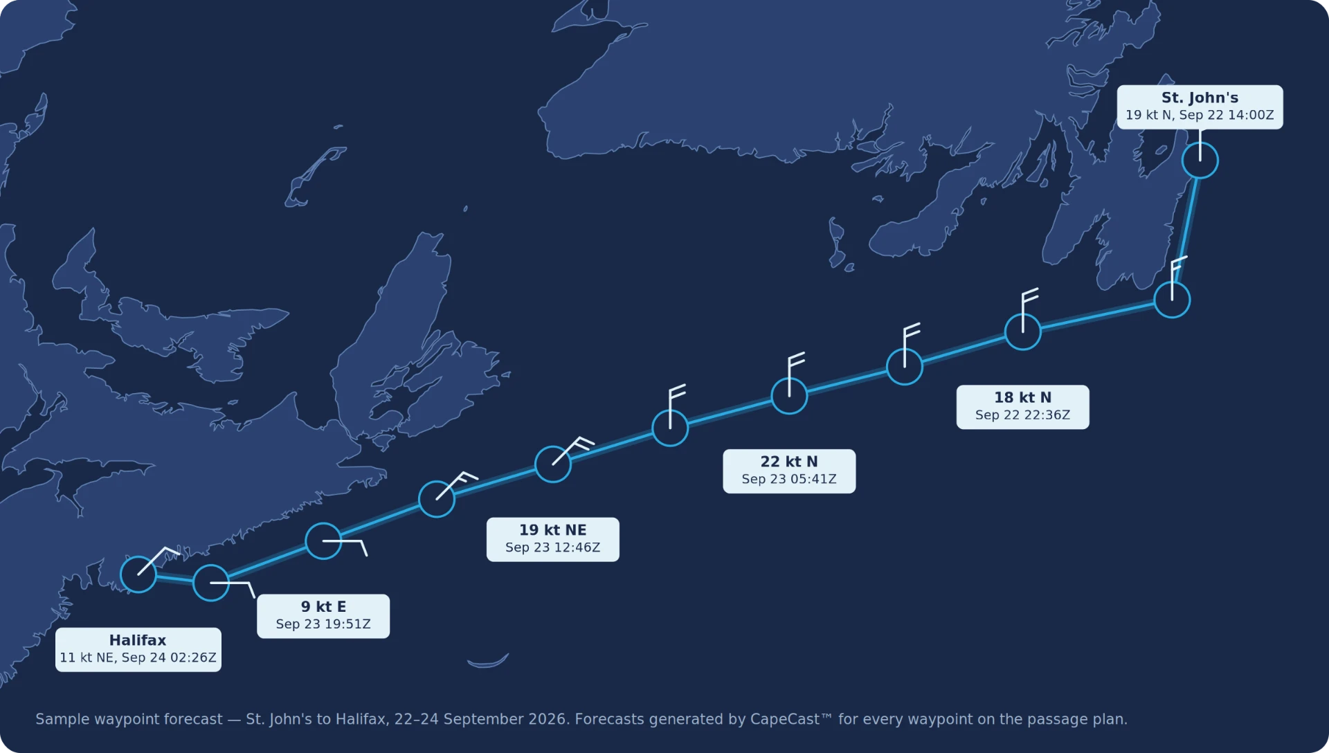
CapeCast™ runs on your passage plan.
Give it your waypoints and it returns a forecast for each one, trained on observations from vessels that actually sailed that water.
We’re on the ships that are out there.
Vessels equipped with Vortex Edge™ observe the waters around them: traffic, signals, conditions. No new platforms to launch, task or recover. Persistent coverage from ships already sailing the routes that matter.
Dark vessel detection
Cross-referencing onboard radar with AIS flags vessels that are present but not broadcasting. Anomalies worth a closer look.
GNSS spoofing & jamming
Our distributed network detects GPS interference as it happens, mapping where positioning signals can't be trusted.
Arctic & remote awareness
Persistent observation in high-latitude and remote waters, where monitoring is sparse, expensive and hard to sustain.
One network. Multiple missions.
The same live network serves commercial fleets, governments and data partners.
Commercial Maritime
Cargo, ferries, fishing and surveying fleets sailing safer and more efficiently.
Safer, smarter operations
Government & Defense
Navies and coast guards gaining persistent maritime awareness.
Maritime domain awarenessData Partners
Platforms and weather services enriching their products with OceanSync data.
Data products & APIs2.1 million nautical miles of ground truth.
Our systems have sailed the equivalent of 97 trips around the planet, collecting observations in conditions where no buoy, satellite or drone was watching.
Talk to our team