
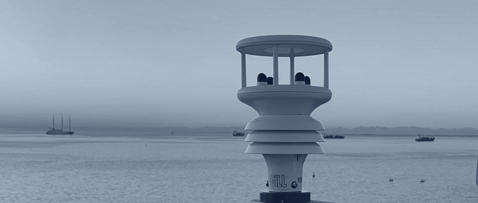
One platform. From sensor to intelligence.
Vortex Edge™ turns commercial vessels into trusted ocean sensors, feeding a growing data network and AI layer that delivers real-time maritime intelligence.
Four layers, one continuous data path.
- Layer 01
Vessel Edge
Vortex Edge™ onboard systems capture high-frequency weather, motion, AIS, radar and GNSS data directly at sea.
- Layer 02
Data Network
A global network of commercial vessels on active trade routes. 1.98B+ ocean weather observations and 498M+ AIS messages, growing daily.
- Layer 03
Intelligence Layer
AI models turn raw observations into intelligence. CapeCast™ anchors global forecast models to each vessel's own observations, delivering localized predictions models alone can't provide. The same network detects what others can't see: dark vessels operating without AIS, GPS spoofing and jamming as it happens, and hazardous vessel motion before it becomes dangerous.
Building a product on our data? See Integrations
- Layer 04
Delivery
Dashboards, APIs, data feeds and automated reporting: daily noon reports, post-voyage reports and incident reports, generated from measured data and delivered straight to operators and captains. The same data, delivered the way each customer needs it.
One self-contained system, no crew workload.
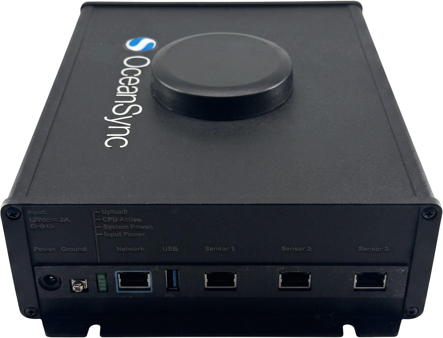
One box turns a ship into a sensor.
A standalone, non-invasive retrofit, installed in hours, running maintenance-free for years.
Collects
- Weather: wind, pressure, temperature, humidity
- Motion: pitch, roll and roll period
- Position: GPS and AIS (lat/lon, SOG, COG)
- Radar: target tracks via direct radar integration (X-band)
- GNSS integrity: positioning-interference monitoring built in
Built for sea
- Connectivity built in: 5G modem, compatible with Starlink, Inmarsat or the ship's existing network
- Satellite-friendly: 6–8 MB/day data transfer
- Up to 3 years stored locally, recorded on both gateway and cloud
- 12V DC, 2A: runs on any vessel's power
- Three sensor ports plus network and USB; configured per vessel for Gill weather stations, Garmin GPS, AIS and radar
Also deploys ashore
- Self-contained terminal stations for ports, terminals and approaches
- Solar + battery option where power isn't available
- Same gateway, same data platform. One network across ship and shore
Why it works
Data from where ships actually sail
Observations from active trade routes and remote waters, not just where buoys and stations happen to be.
Ground truth, not modeled guesses
In-situ measurement from instrumented vessels with high quality data that forecasts, risk models and AI applications are built on.
Coverage that keeps growing
Every vessel added extends coverage and improves accuracy for every customer. Accuracy scales with every voyage.
One system cost, then data your way.
from CAD $9,500
typical configurations $9,500–12,500 · approx. US$7,000–9,000 · excl. shipping, installation & taxes
- Gateway with GPS, AIS & motion built in
- Weather station
- Commissioning & cloud setup
Quoted per fleet
based on vessels and data scope
- Data delivery & dashboards
- Automated reporting
- CapeCast™ forecasts